


Local Studies
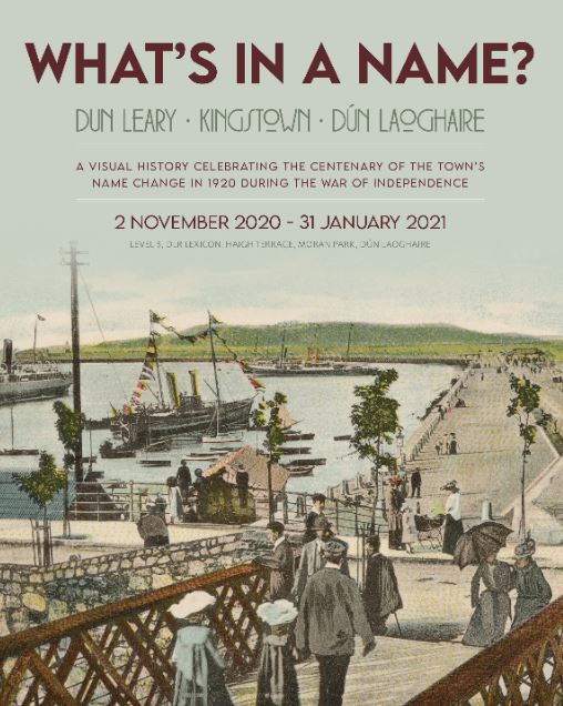
What's in a Name
The county was formed in 1994 from an amalgamation of the Borough of Dún Laoghaire and parts of the County of Dublin, but the area has a long and sweeping history with evidence of settlement in the general area dating back to around 6,000 years ago. Its story has always included the dual elements of the maritime and the rural hinterland. Closely linked to Dublin, the numerous castles dotting the county illustrate its position as borderland to the Wicklow Mountains. In recent centuries the area has become more closely meshed to the city, as its surrounding villages become part of the suburban landscape.
Please see our online exhibition What’s in a Name? Dun Leary – Kingstown – Dún Laoghaire: A Visual History
Dublin's half-barony came under the County Council of Dublin, as Rathdown (No.1 District). Rathdown (No. 2 District) was under Co. Wicklow. Dún Laoghaire (or Kingstown as it was known 1821-1920) was originally a fishing village called Dunlary or Dunleary, and as such was in the Dublin half-barony, but after the new town was built it had a separate local Government as a borough council from 1821 up to 1994.
The old Rathdown half-barony does not correspond exactly with the new county area, as it included Rathfarnham and Terenure (See Map here), but when the new county was set up in 1994 the name had resonance of past connections.
