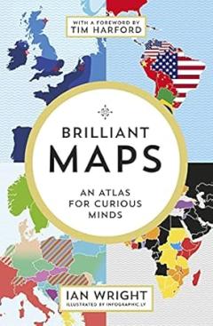
Brilliant maps : an atlas for curious minds

Though marketed under Travel Atlases and Maps, Brilliant Maps is so much more than that. It’s a smorgasbord of world historical, geographical, cultural and political data and infographics, with many established facts and lesser known and obscure details. It is humourous, scary and at times, sombre viewing. The maps give as much information on the human and economic life of a country as its physical geography.
There are the fun facts to be found in the Culture and Customs sections: Heavy metal bands per 100,000 people, Who drives on the wrong side of the road? Countries that don't have any McDonald's and Place names with more than 20 letters. Out of the 27 countries listed in the Place Names map, three place names come from Ireland. No surprise there!
The interesting facts include: If the Roman Empire reunited, if European borders were drawn by DNA instead of ethnicity, and the Second-largest nationality living in each European country.
Then, there is the more serious side of the cartography – The catastrophic decline of Ireland’s population 1841 – 51, post-potato-famine, Countries that lost citizens on 9/11, and maps referring to national identity, Countries that officially recognize the state of Palestine and Countries that officially recognize the state of Israel.
As Ian Wright is a Canadian living in London, he takes a cheeky approach in highlighting facts around the British Isles and the British Empire, e.g. 22 Countries that the United Kingdom has not invaded, England vs. Great Britain vs. United Kingdom and the Most recurring word on each country’s English Wikipedia page (the U.K. word is Ireland and Ireland’s word is State).
While the maps work at such a visual level, you do read and analyse the facts in a different light. One perfect example of this is a map of Countries the US is obliged to go to war for (for now). As Ireland is not a member of NATO, you get to see from the colouring of the map of Europe how isolated Ireland is from both a military and state security point of view. This map is also an example of the drawback of the book, in that, the map is already outdated. At time of publication in 2019, Sweden and Finland were not members of NATO but in the interim, they have joined the Alliance, which leaves Ireland further detached from Europe.
Naturally, circumstances and world affairs are going to change over time and it is an impossible task in a once-off publication to have the correct information in going to press. That aside, it should not take away from this most enjoyable and fascinating viewing of maps.


